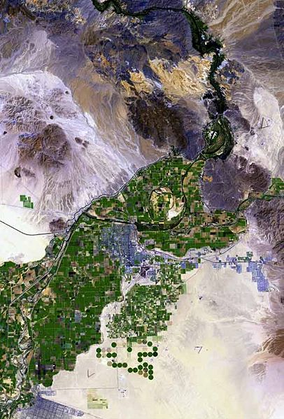
ファイル:Yuma arizona map.jpg
表示

このプレビューのサイズ: 406 × 599 ピクセル。 その他の解像度: 162 × 240 ピクセル | 576 × 850 ピクセル。
元のファイル (576 × 850 ピクセル、ファイルサイズ: 57キロバイト、MIME タイプ: image/jpeg)
ファイルの履歴
過去の版のファイルを表示するには、その版の日時をクリックしてください。
| 日付と時刻 | サムネイル | 寸法 | 利用者 | コメント | |
|---|---|---|---|---|---|
| 現在の版 | 2007年9月25日 (火) 17:49 |  | 576 × 850 (57キロバイト) | Marku1988 | |
| 2006年10月25日 (水) 18:52 |  | 671 × 1,000 (67キロバイト) | Terraprints | {{Information |Description=The raw satellite imagery shown in these images was obtain from NASA and/or the US Geological Survey. Post-processing and production by http://www.terraprints.com |Source=http://www.terraprints.com |Date=20061025 |Author=http:// |
ファイルの使用状況
以下のページがこのファイルを使用しています:
グローバルなファイル使用状況
以下に挙げる他のウィキがこの画像を使っています:
- arz.wikipedia.org での使用状況
- ceb.wikipedia.org での使用状況
- en.wikipedia.org での使用状況
- es.wikipedia.org での使用状況
- fr.wikipedia.org での使用状況
- fy.wikipedia.org での使用状況
- he.wikipedia.org での使用状況
- lld.wikipedia.org での使用状況
- nn.wikipedia.org での使用状況
- www.wikidata.org での使用状況
- zh.wikipedia.org での使用状況
